For landowners, an important piece of information is the size of the land they own. If you want to sell land or plant something on it, this measure will give you the information you need about the value of the land or the number of plants you need.
There are many different units for measuring land around the world, but the English system is considered one of the leading. If you live in the United States, Canada, Australia, or another country that uses this system, you will need an Acreage Calculator.
You need this tool to measure your land. Acreage Calculators can be called the easiest way to calculate the number of acres. You may also use standard means of measure with 11 Best Area Calculator Apps for Android & iOS.
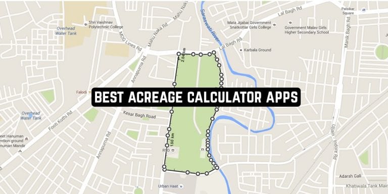
Sometimes you only need to know the width and length of the lot, and some work directly from maps so that you can more easily mark the boundaries and not have to measure anything yourself.
If you need to measure land in acres, we present you with 13 Best Acreage Calculator Apps for Android & iOS.
GPS Fields Area Measure by Farmis
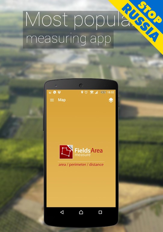
GPS Fields Area Measure is one of the best tools for working with the land. The app has two versions – a paid version with extended functionality and no ads, and a free version that is suitable for beginners or one-time area measurements.
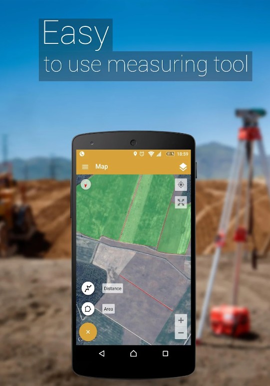
Distance, perimeter, and area in the application are measured using GPS and in manual mode when you set all the boundaries and coordinates yourself. The developer also has other services that are great for working with land and plots – for example, the calculation of the price of raw materials or an agronomic calculator.
The convenience of using GPS Fields Area Measure is that you can always mark your action or start marking the area all over again. The app also has a smart marking mode, which is that the service itself with the help of the map marks the boundaries of the area.
This method is suitable when measuring an area in a city or among other buildings. For automatic measurement using GPS, your location and movement will be tracked – and you can move at any speed, the service will in any case exactly mark the entire route on the map.


You may also like: 11 Best tape measure apps for Android & iOS
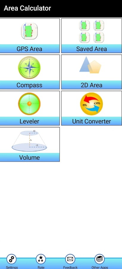
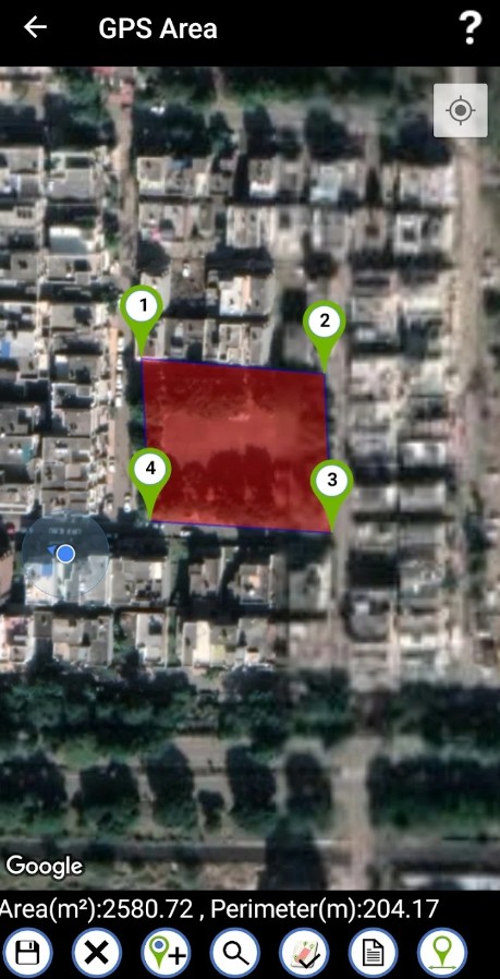
Gps Area Calculator by KBK INFOSOFT
Measuring the area of any piece of land using GPS is a genius solution. This is what the developers of the Gps Area Calculator decided and created a unique smart tool for measuring different areas on the map.
The app is great for people who run a farm, build different houses, or just do the mapping. Whatever your goals are, you can use the Gps Area Calculator to achieve them.
The application calculates the area of a marked piece of land in two ways. The most convenient way is to place points on the borders of the area you want and then simply click the calculations button: Gps Area Calculator will automatically merge the constructed points into one area and calculate its area in acres.
The application is also able to work with terrain, and all images come from satellites, so you can be confident in the accuracy of the results obtained. Now your farm or land management can be much easier.
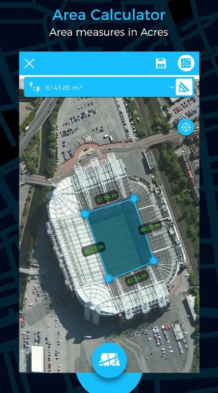
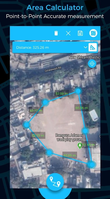

Planimeter 55. Measure on map
The name of the application fully reflects what it does – Planimeter 55 measures absolutely all land areas on the map. It uses satellite images, so you will see all the details of the place you calculate for.
With Planimeter 55 you can work with construction sites in the city, farmland and fields, tracks, and many other objects. Some professionals even use this application to calculate the asphalt area of a site.
Planimeter 55 differs from other services in its accuracy – this is what the developers emphasize. At the time when you will mark the boundaries on the map, the service will already carry out calculations regarding the lengths of the sides and so on.
It is worth noting that while you are placing the boundaries you will also be able to add photos or notes to them – for example about the fact that this area is disputable or useless.
Planimeter 55 will enter these comments into the file so that you can share them with colleagues or other people. By the way, folders with finished calculations can be hidden in the main application, not to get confused during further work.
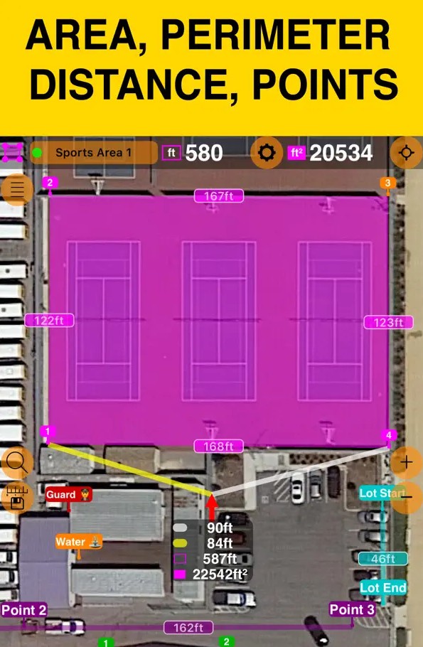
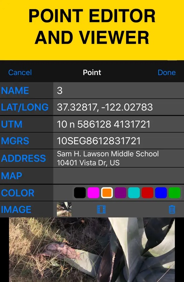

Area Calculator For Land – GPS Area Measurement
The GPS Area Measurement app also calculates land area in different measurement systems. This clever tool helps you survey your property or the land you will be working on.
The calculating area with GPS Area Measurement is easy enough, the main thing is to choose which measurement method suits you best. As soon as the service gets the length, width, and shape of the plot of land, you will get instant results.
GPS Area Measurement offers you the following ways to measure. You can mark the necessary boundaries on the satellite images, and the service will calculate the rest of the parameters by itself.
You can also measure complex areas of land on foot – for this you will need to walk around the perimeter of the required area, and with GPS tracking the application will get all the necessary data.
In GPS Area Measurement you can calculate the area of land in acres, the distance between two objects, and so on. If necessary, you can also convert the data into square meters and square kilometers, and so on.

Land Calculator: Area, Length
Land calculator is an app that allows you to find the area of a territory or to convert one unit of measurement to another. The application is ideal for professionals in their fields and students.
The first time you sign in, the app asks for permission to track your geolocation. Next, the home screen opens with three tabs located in the center.
Clicking on the Make Survey tab a window with more specific choices opens. You can go to Draw On Map, Walking Survey or you can Enter Coordinates tabs.
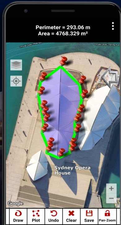
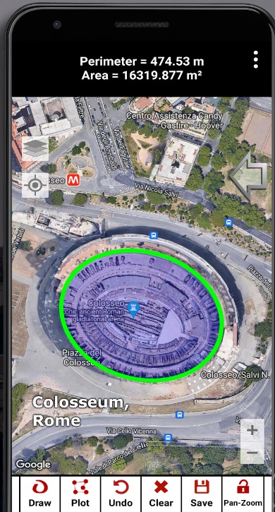
If you want to draw or mark a territory on a map, then such functions as Draw ( chaotic selection of the territory), Plot ( forming geometric polygons) will be available on the screen below; you can also Undo, Clear, Safe and Pan-Zoom.
Of the customizable functions, there are adjustable settings for the units of measurements. They will be shown on top of the map.
When you select Walking Survey, the application will automatically mark the territory that you have passed and measure it. In the case of Enter Coordinates, everything is very clear from the name.
If you click on the Calculations tab from the main screen, then you will be transferred to the calculator-convector. The My Surveys tab allows you to save your results.

You may also like: 15 Best Measure Distance Apps for Android & iOS
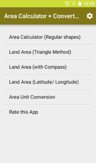
Land Area Calculator with Area Unit Converter
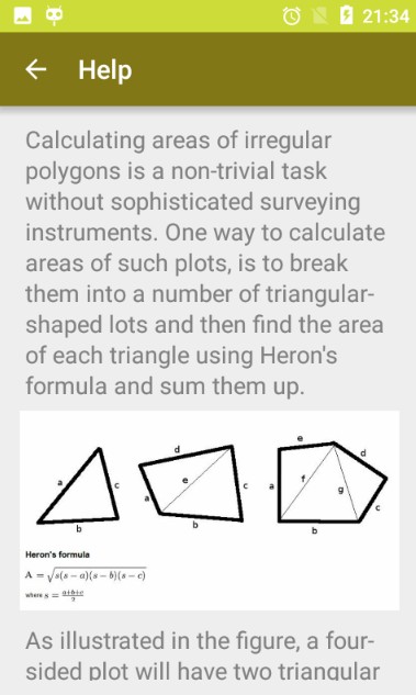
Sometimes plots of land on a farm or in a suburban construction can be of different shapes. It does not necessarily have to be a strict square or rectangle – sometimes the geometric shape of plots can be quite unusual.
The Land Area Calculator app is great for calculating the area in yards of plots of all shapes and sizes – it can be a triangle, a circle, and other shapes. You will be able to select the units of measurement in the application yourself, sometimes switching between the parameters you need.
Various mathematical methods are used to calculate the areas of the plots, which allow you to get the most accurate data. Land Area Calculator can use latitude and longitude data to measure areas of land that are too large to estimate even with a glance.
The application works with areas of land around the world because the map on which the boundaries are displayed is quite accurate. If necessary, Land Area Calculator adjusts to specific standards of units you’ll use – for example, switching from acres to Indian local units.

Distance and area measurement
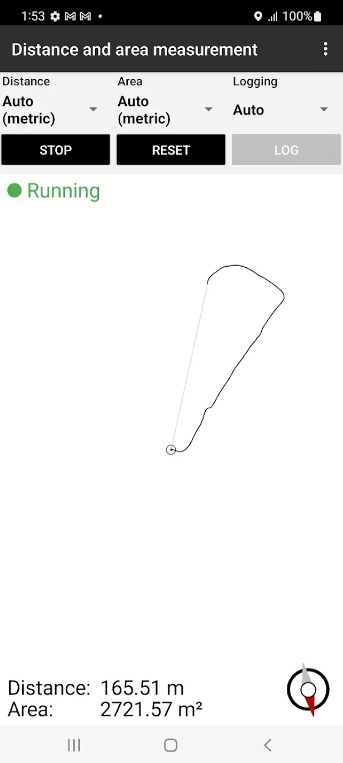
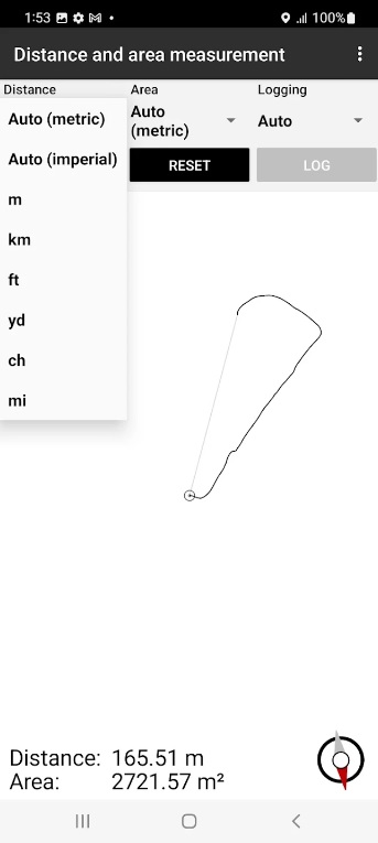
Distance and Area Measurement is a user-friendly app that brings convenience and accuracy to measuring distances and areas in the real world.
With Distance and Area Measurement, you can effortlessly calculate the distance between two points on a map or measure the area of an object or space.
From calculating the dimensions of a room before furniture placement to measuring the size of a plot for landscaping, this app is a valuable tool for various tasks.
If you’re a professional or someone who needs precise measurements for home projects or outdoor activities, this app has got you covered. It uses advanced technology to leverage your device’s camera and GPS, allowing you to measure distances and areas with exceptional accuracy.
It offers a simple and intuitive interface, making it accessible to users of all ages and technical backgrounds. Additionally, it provides quick and reliable results, saving you time and effort in the process.
All in all, it is a decent app that has only necessary functions and nothing more. I think this software can be useful for your acreage calculations.

Area Calculator by Testskill
Area Calculator has a very simple interface, which at first glance may even seem unprofessional or outdated. Despite this, the application easily calculates the area and perimeter of the areas you specify by retrieving data from various sources, such as maps or satellite images.
By the way, you can switch between different map views the moment you set up the area markup yourself. The Area Calculator supports a classic vector map where everything is displayed schematically and a real map which is obtained from the satellite.
In order to continue working with an area of the land after you have taken measurements, you will simply need to save it as a project. The units in which the calculations will be made can be different – you choose from the list provided.
The Area Calculator allows you to perform all calculations in acres, square feet, meters, and so on. You can also use your current location to determine the starting point of an area or an approximate area for calculations.

Map Area Calculator – Marea
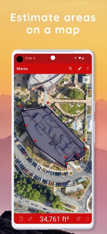
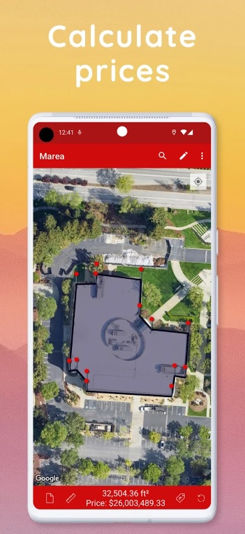
Map Area Calculator allows you to calculate the area of any shape or region directly on a map. Map Area Calculator measures outdoor spaces accurately with just a few taps.
One of the app’s standout features is its ability to measure areas even for irregularly shaped regions. Simply mark the boundary points on the map, and the app will handle the rest, providing you with precise measurements.
Not only does Map Area Calculator give you the area in square meters, square feet, acres, and more, but it also offers the option to save and share your calculations. This comes in handy for documentation, planning, or sharing information with colleagues, friends, or clients.
The app’s clean and intuitive design ensures that it’s suitable for users of all ages and backgrounds. You don’t need to be a professional surveyor or cartographer to use this app – it’s for anyone who needs accurate and efficient area calculations.
In conclusion, I believe that this application would be highly beneficial for your exploration of different areas.


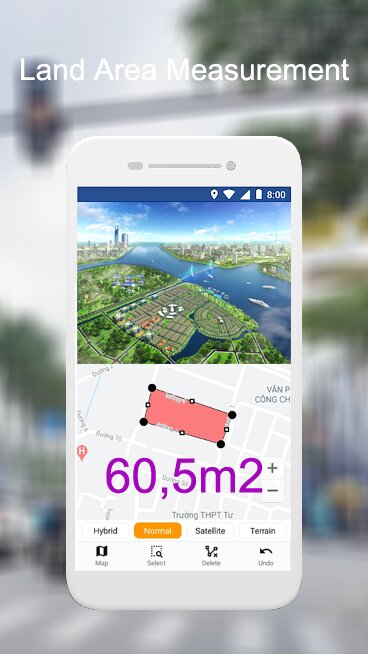
Land Area Measurement – GPS Area Calculator App by AppsMi Studio
GPS Area Calculator is another handy tool for measuring land areas, fields, and distances between objects. In it, you can convert the resulting data into any system of measurement, no matter what shape the area turns out to be.
It can be feet, acres, miles, and more. This variety of units of measurement allows you to work in different countries and with different customers, regardless of how the resulting data is displayed in the documentation.
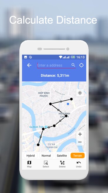
In order to measure an area, you will need to walk the perimeter. If the area is too large, you can walk through the area or mark it on a map. GPS Area Calculator requires a minimum of 3 points to start calculating – you can add many more in order to get the most accurate area.
The app will automatically show you everything that is around you at that moment – so you have to be near the area to do the calculations. The GPS Area Calculator can also calculate the distance you need to know.

AreaCalc – GPS Area Calculator
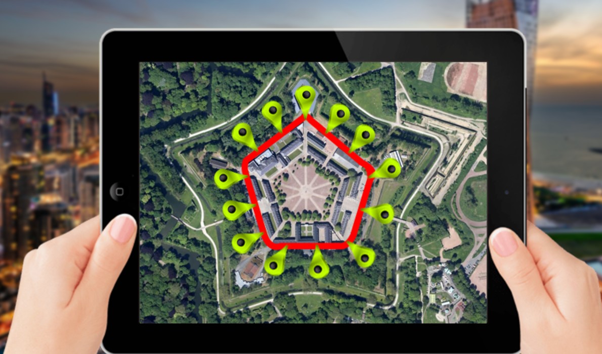
AreaCalc allows you to calculate the area of various geometrical shapes, such as squares, rectangles, circles, triangles, and more. Whether you need to measure the size of a room, a plot of land, or any other space, this app has got you covered.
The app’s interface is intuitive, ensuring that even beginners can use it with ease. Simply input the required dimensions, and AreaCalc will instantly provide you with an accurate area measurement, saving you time and effort.
One of the standout benefits of AreaCalc is its versatility. It’s not just limited to basic shapes; you can also calculate the area of irregular polygons by plotting their vertices on the app’s map feature. This makes it ideal for surveyors, architects, and anyone dealing with land measurements.
In conclusion, I can say that whether you’re a homeowner, a professional in the construction industry, or simply someone who needs precise area measurements, AreaCalc is the perfect tool for you.

AndMeasure (Area & Distance)
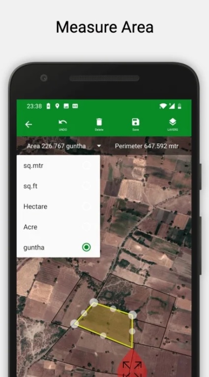
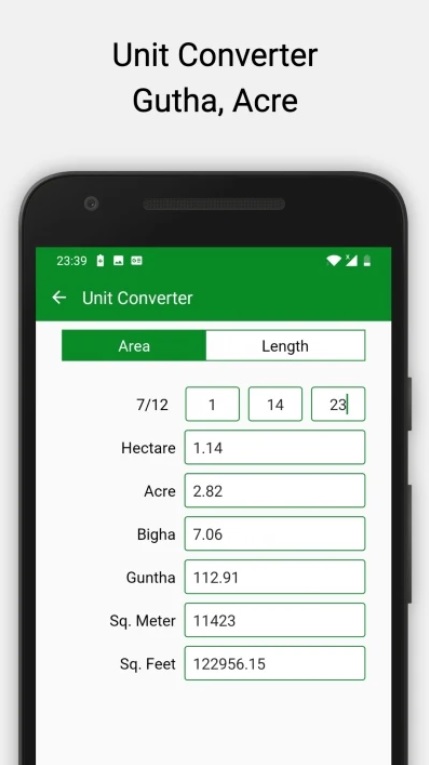
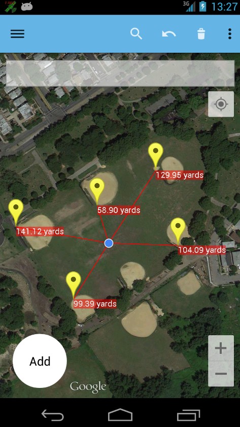
AndMeasure is a distance and area measurement tool that has unlimited possibilities and applications. It can be used in landscaping, sowing lawn and various crops in fields, building fences, and other activities.
Many users use AndMeasure in agriculture to measure the area of fields, forests, and properties. A simple measurement will help you get the necessary data about the size of the plot to sell or work with it.
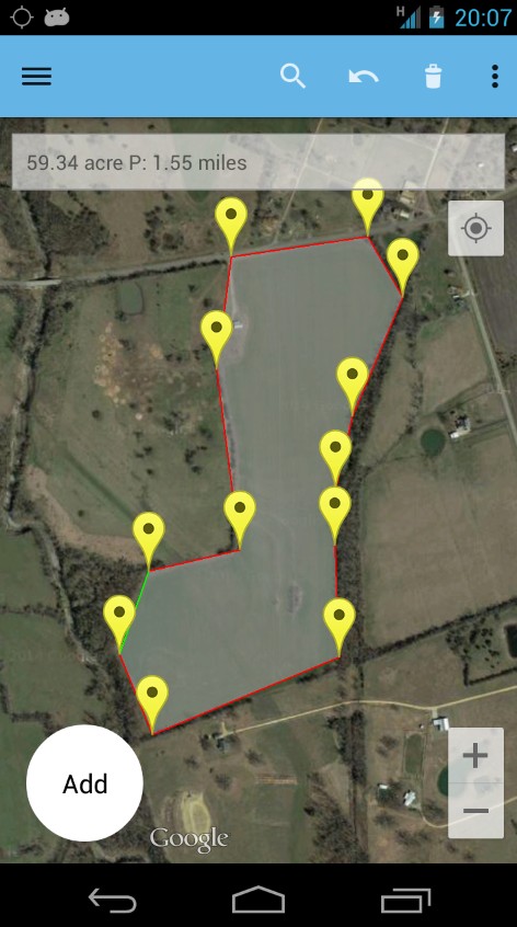
AndMeasure is also used by realtors to show a plot for sale. All measurements are recorded in real-time, so the buyer will see on the map what exactly he is offered to buy.
The area is of course measured in acres, but you can change this depending on the circumstances. AndMeasure also allows you to measure the distance from your location to another point on the map in real-time as you move between them. To do this the app needs access to the data from your GPS sensor in your smartphone.

You may also like: 16 Best GPS Apps for Android
Geo Measure Area Calculator
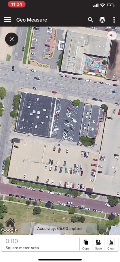
Geo Measure Area Calculator is an app that gives you the opportunity to measure area, distance, and find a point by its coordinates.
The application will perfectly suit the experienced workers in their fields and students of the mathematical and architecture universities.
When you first enter an app, the developers immediately explain how each button works and what it is needed for in an accessible language.
One of the functions of the Geo Measure Area Calculator is the distance measurement using such available options as Manual, GPS, or freehand measurements. The same modes are available for the calculations of the perimeter or square area of the allocated places.
The App can be also used for the point finding on the map by coordinates or vice versa. Geo Measure Area Calculator gives some options for doing this query, such as entering degrees, marking a point on the map, or manually entering latitude and longitude.
The app can highlight and save favorite places, and you can select measurement type by clicking the bottom left corner button.


There is no need to hire a special person to take measurements or to walk around the area with a measuring tape yourself. To get information about the size of a particular piece of land in acres, you will only need to install the right app and use it.
If necessary, some calculators have a built-in converter that allows you to convert all the data into the desired system of measurement.
You can install such an app even if you don’t have your own plot – you can just get information about the size of the plot near your house or the soccer field you play on – interesting information you might find useful. We hope our article was useful to you – now you can measure anything in acres.
