Whether you are an advanced drone pilot or just planning your first flight—this article got you covered.
There are plenty of drone camera apps in 2024 (Android & iOS) that will boost your piloting experience. These apps will help you to arrange the routes with detailed maps, inform you of all the no-fly areas and alert you if the climate conditions are not the best for flying. All these apps are compatible with a wide range of drone models, so there’s something for everyone.
We’ve gathered together the best apps in that category you should try. Take a look!
DroneDeploy
Let’s start with an app that will simplify aerial data for you.
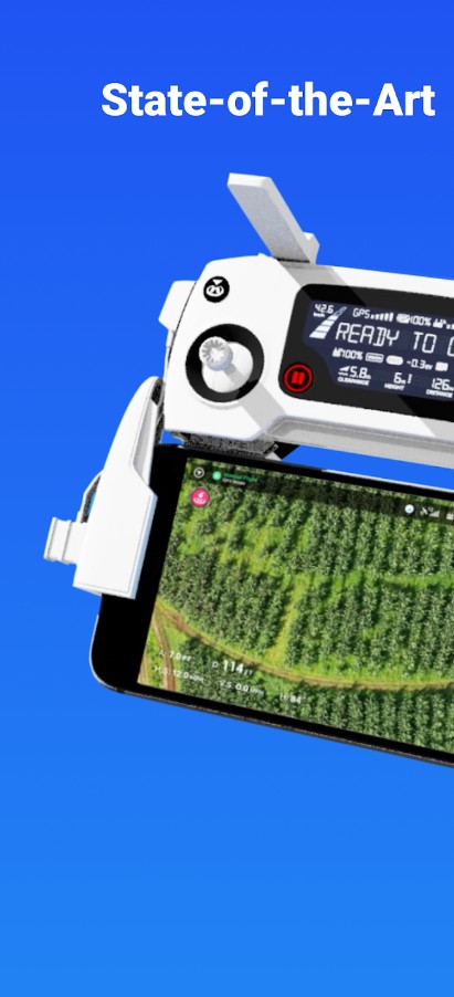
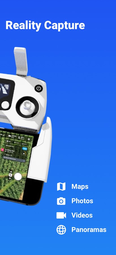
It’s one of the top-pick apps for commercial drones as it provides you with easy flight data capture and covers interactive HQ maps. You’ll get to perfectly plan your flying routes, share maps, and 3D models in a couple of taps. In other words, the functionality is pretty wide, so you won’t need any other drone apps on your phone.
As for the functionality, you’ll get to easily build flight plans on the go. Plus, the app comes with an automatic takeoff and landing, so it’s great for beginners as well. The same goes for image capturing—it will be done automatically, so you won’t need to do anything. In case you’re not a fan of autopilot, you may also set personalized control if needed.
This app is compatible with a wide range of drones (and even the latest models), so no concerns about that. It runs as a cloud service, and all the data will be automatically saved and stored in a safe place. For now, the app already covers over 30 mill acres in over 150 states, and more are on the way.


You may also check: 7 Best Drone Detection Apps for Android & iOS
Dronelink
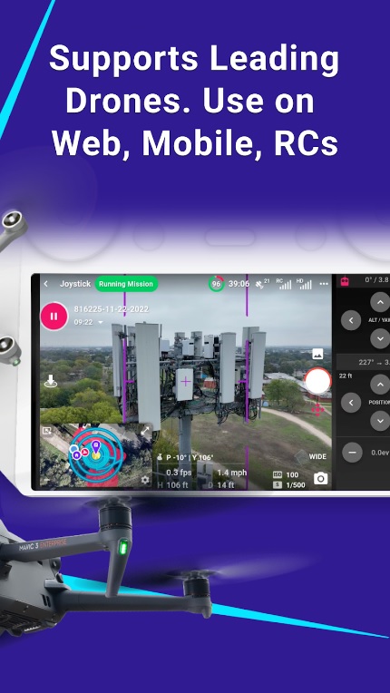
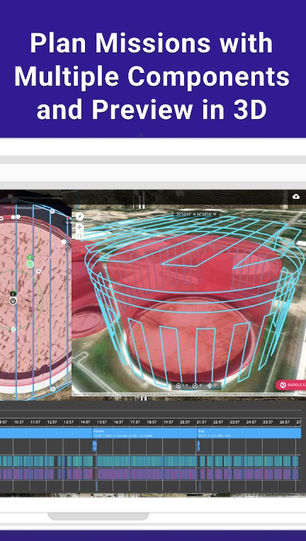
The app provides a user-friendly interface that simplifies the process of planning, executing, and automating drone missions. You can create custom flight paths, set waypoints, and design intricate aerial sequences without any prior technical expertise.
It allows you to program your drone to follow specific routes, capture precise shots, and execute complex maneuvers with ease. This means you can focus on getting those stunning aerial shots while the app takes care of the flying details.
Also, the app’s benefits go beyond its intuitive controls and automation; it empowers both beginners and experienced pilots to unleash their creativity and capture breathtaking footage from above.
All in all, Dronelink is a right way to explore the world from a whole new perspective.


Aloft
If you’re one of those people who prefer to have one app for everything—this one is for you.
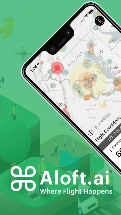
Of course, it would be presumptuous to say that this app has all the essential tools for drone flies, but it’s pretty close to that. This app will help you manage your flying in all ways, starting from preparation. It covers HQ 3D maps that are nice for a pre-flying inspection. These maps include no-flight zones, clutter info, and all that.
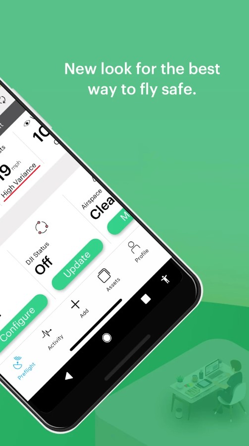
As you know, copper flying is highly sensible for the weather, so the app also provides you with accurate forecasts as well. You’ll also get real-time battery data and will be alerted if it will get too low. The same goes for the overall equipment quality, so you’ll be awarded if there’s something wrong with the drone.
The app also lets you log all your flights into an in-app journal and provides you with post-flight reports. There are also plenty of pre-made checklists that will help you fly safely. The app connects to a wide range of drone models, so you won’t have any issues with that. It also gets regular updates with new features, but some of them may be paid for.


Dronecast
This is an app that will become your personal drone assistant.
With this app in your arsenal, you’ll never miss an opportunity to drive a copter again. As you know, there are lots of things that may ruin a flight—starting from weather and ending with problematic equipment. And this app is here to relieve you from all these issues. And the best thing is—it’s compatible with all the drone models, which is rare.
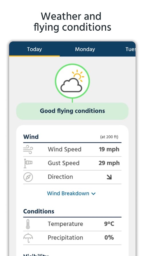
What this app does is provide you with hyper-accurate weather forecasts and all the info a copter flier needs to know. And if you think—I already have a weather app—no, you don’t! This app covers extra local forecasts that get updated every minute, so you won’t be taken by surprise by bad weather.
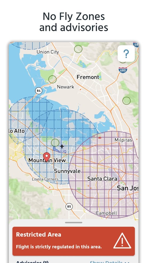
Beyond that, the app covers the info about the wind and gust speed, and it will alert you if it is not the best time to fly. There are also detailed HQ maps with marked no-fly zones that also get regular updates. The app runs worldwide and will give you accurate info across the US, UK, Europe, and all that. The app is completely ad-free, so you won’t be interrupted while flying.

Check also: 17 Best Apps to Enhance Video Quality on Android & iOS
RC FPV
This app caters to both beginners and seasoned remote-control enthusiasts.
The RC FPV app operates by connecting to your remote-controlled aircraft’s camera, allowing you to stream live video footage directly to your device. It’s an experience akin to being in the pilot’s seat, steering your aircraft with precision, and witnessing the world from a whole new perspective.
It’s designed for those who want to explore the art of First Person View (FPV) flight, capturing stunning visuals and navigating their aircraft in real-time. Within the app, you’ll find a range of features designed to enhance your FPV experience.
From adjusting camera settings and video quality to toggling between front and rear cameras, the options are as expansive as the skies you’ll be navigating.
All in all, I can say that this app is suitable for aspiring pilots or people who are simply curious about FPV flight because RC FPV offers an exciting journey into the skies.
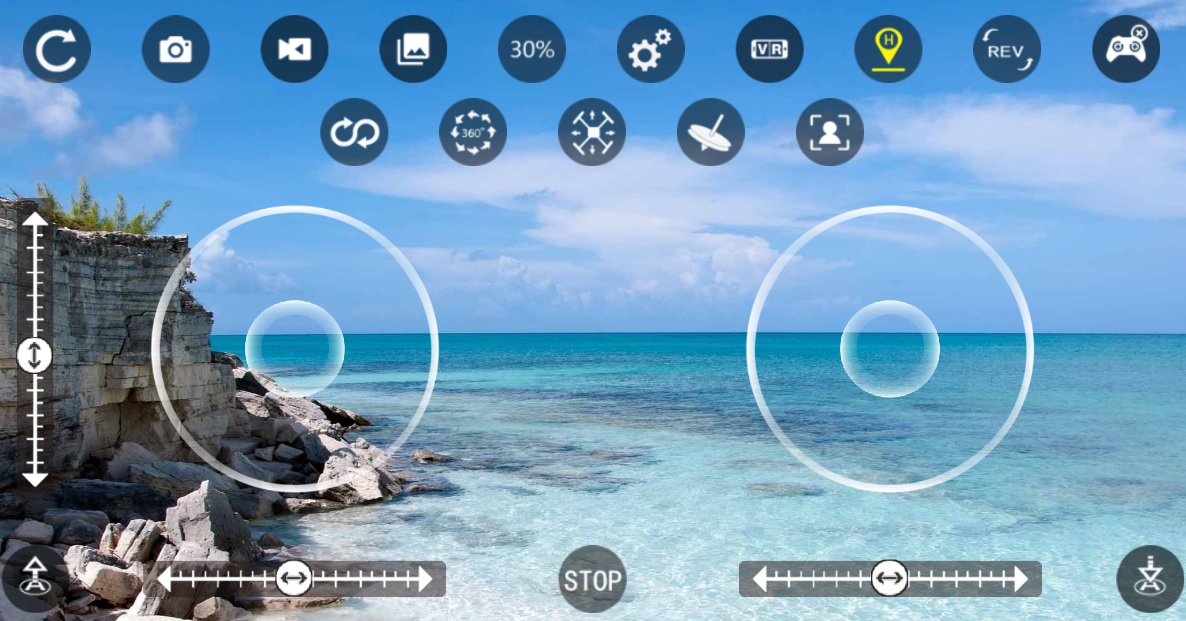


Go Fly for D.J.I Drone models
Compatible with multiple D.J.I drone models, this app is suitable for drone pilots of all skill levels.
Navigate through a plethora of options within the app, from adjusting flight settings and camera angles to planning flight routes and receiving real-time telemetry data.
Users can effortlessly navigate your drone and execute complex maneuvers, capture stunning photos and videos from unique vantage points. Also, it’s possible to chart flight paths and set waypoints for automated flights.
To sum up, this is a decent app for those who are seeking breathtaking shots, it gives you a chance to get perfect shots using a drone camera.
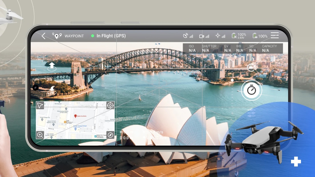

Drone Buddy
It’s a handy done assistant app that helps you fly easily and safely.
Along with the previous one, this app covers accurate weather forecasts with all the metrics important from copter pilots. To be more precise, the app will keep you updated on the wind speed, the level of cloudiness, the KP index, and all that. Herewith, the app has a minimalistic design, so all the info is easy to check out before flying.
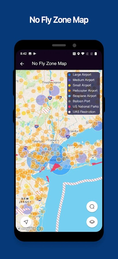
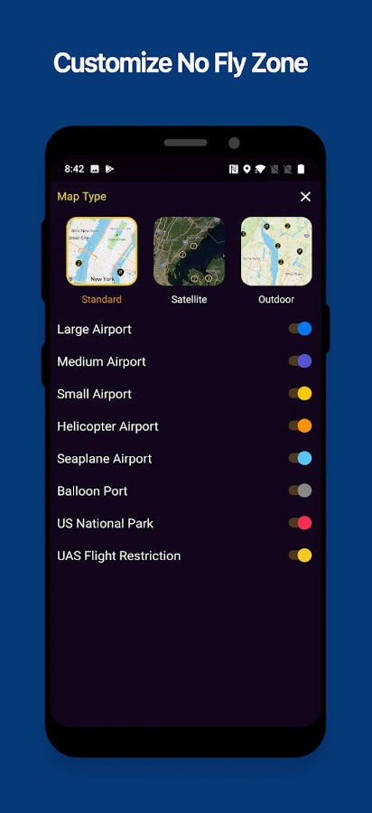
The weather predictions come for up to a week ahead and get updates every minute. Thus, even if the weather will change too quickly, you’ll be awarded and have enough time for landing. What is more, the app covers restricted area maps with such areas as airports, seaports, national parks, and temporarily restricted places as well.
You’ll get to regulate the look of the map in the settings to match your prefs. In case you need a flying inspo, the app comes with a compilation of over 2k websites with drone flight recs. There’s also a pro sub pack that gives you access to advanced maps, flexible wind forecasts, cloud base storage, and more.


FreeFlight Pro
As you may guess by the name, it’s an app that helps you discover the airspace for copter flights.
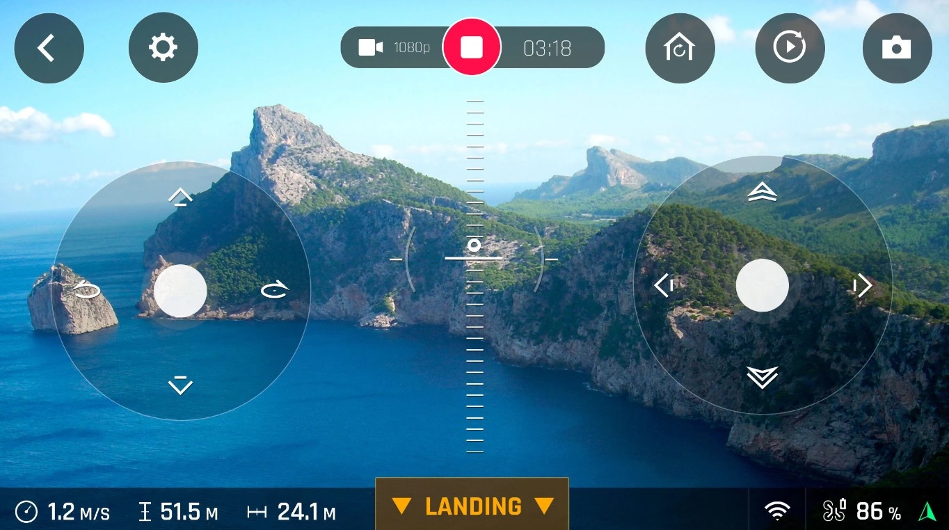
FreeFlight Pro is designed to provide seamless control over Parrot drones, making the entire flying experience both exhilarating and accessible.
The app offers a user-friendly interface, ensuring that even beginners can navigate through its features with ease. With simple touch and tilt controls, you can guide your drone through the skies effortlessly.
Beyond its intuitive controls, FreeFlight Pro boasts a range of features that elevate your drone experience. You can plan and execute flights with precision, setting waypoints, and custom flight paths for capturing stunning aerial shots.
The app also offers real-time telemetry data, giving you insights into your drone’s battery life, altitude, speed, and more.
So, if you’re ready to take flight and explore the skies from a whole new angle, FreeFlight Pro is great to get a captivating drone experience.


PhotoPills
If you’re a drone videographer, and you still haven’t installed this app—you’re missing out!
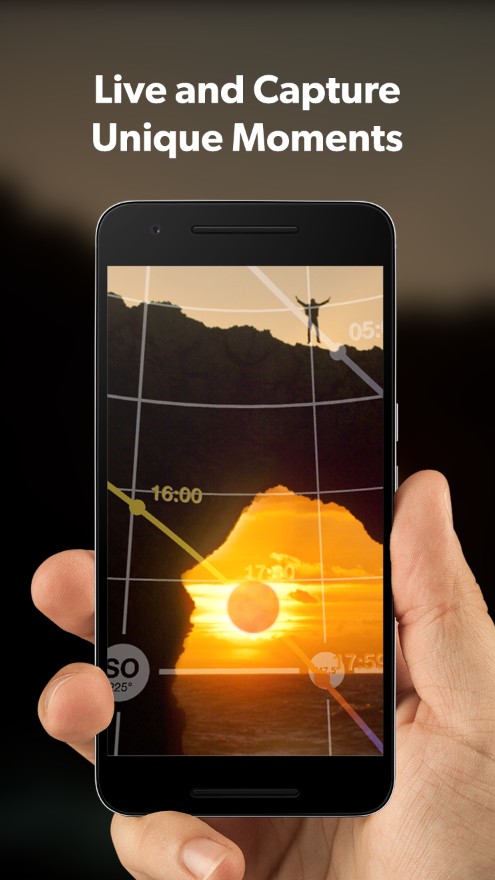
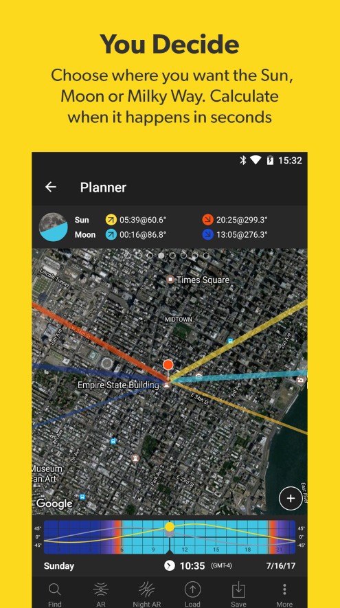
It’s one of the best photo planning apps on the market in general—it lets you consider multiple metrics to pick up the perfect time for taking shots. In other words, it will help you plan photography sessions in advance, so you’ll always be there in time to capture breathtaking shots. Of course, it works best for shooting landscapes, sunsets, sunrises, and all kinds of natural events.
You may think this app is totally unnecessary cause all you need is a suitable flying condition, but you’re wrong! You may fly various for hours in good weather without taking a single worthy shoot. This app also permits you to adjust the compositions along with the flying attitude to make sure you’ll get the best results.
Besides, the app lets you keep track of moon phases to get stunning nighttime shoots. This tool even lets you capture a perfectly-shown Milky Way! It also automatically calculates the appropriate exposure, DOF, and other metrics to maintain an HQ of your pics. There’s also a built-in plans manager that lets you keep all the upcoming projects in one place.


You may also like: 15 Best time lapse apps for Android & iOS
Flyingsee
And lastly, we have an app that lets you remotely view the image from your drone cam.
With the help of this app, you’ll get to take pics, shoot vids, and share them wherever needed. Plus, you’ll get to see exactly what’s going on around your drone at the moment and control its camera. The app comes with a pretty wide function, but it’s still easy to use.
In case you’re new to drone flying, the app covers educational material about drone operating. Speaking of the features, the app provides you with a real-time first-person transmission view. The transmission goes in HQ without any glitches, so no concerns about that. Plus, there’s a user-friendly control interface with an automatic takeoff and landing.
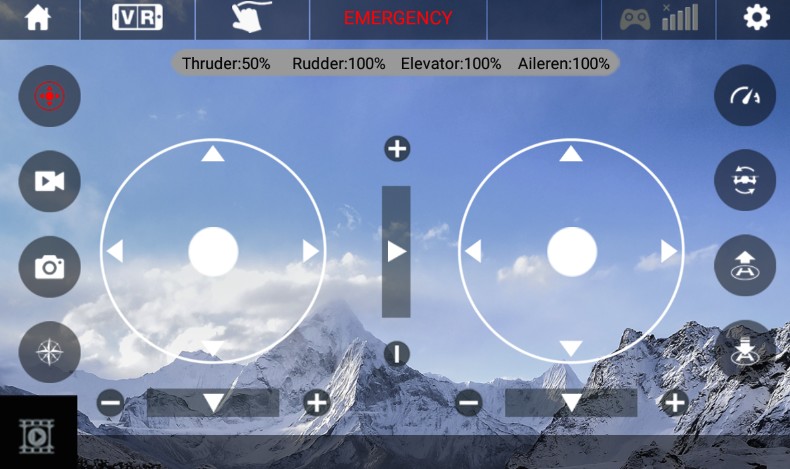
The controls screen contains such metrics as thunder, rudder, elevator, and aileron, which is handy. There’s also a gravity induction mode that lets you control the direction of the flight. In case you already have a route in mind, you may set it up, and it will be shown as a line.
